
What Is an Elevation Certificate and Why It Matters
Learn what an elevation certificate is, what it records, how it compares to flood levels, and when buyers or owners may need current documentation.

On this page
On this page
An elevation certificate is a standardized FEMA form used in the National Flood Insurance Program to record a building's elevation relative to the Base Flood Elevation. It matters because it measures the building only: by itself it does not remove a home from a flood zone, decide a lender's requirement or set the insurance price.
Table of Contents
- What an Elevation Certificate Is
- What Information the Certificate Records
- How to Read and Check a Certificate
- Which Document Answers Which Flood Question
- When Buyers and Owners May Need Current Documentation
- Confirm Your Documents Before Your Next Decision
What an Elevation Certificate Is
An elevation certificate is a standardized FEMA document that records one building's location, flood zone, lowest-floor elevation and relationship to the Base Flood Elevation, or BFE. FEMA describes the BFE as the elevation for a flood with a 1% chance of occurring in any given year, often called the 100-year flood level, in its NFIP claims data documentation.
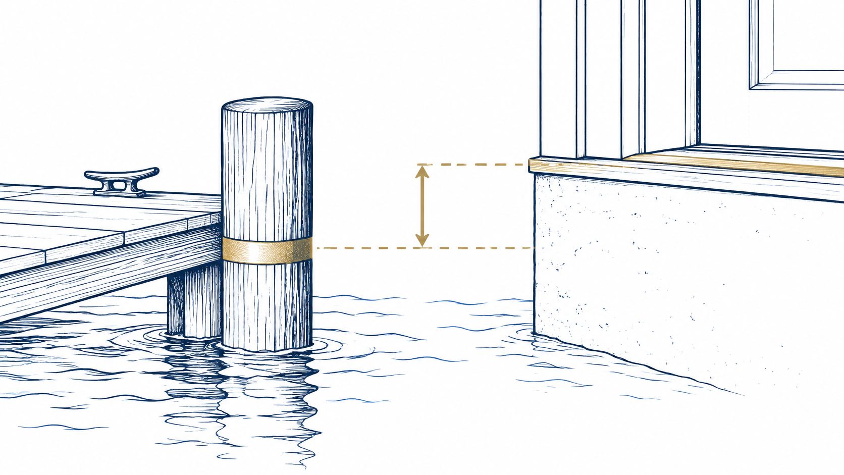
A dock post with a painted mark for expected high water shows the idea. The BFE is that painted mark. The certificate records how far the building's lowest floor sits above or below it.
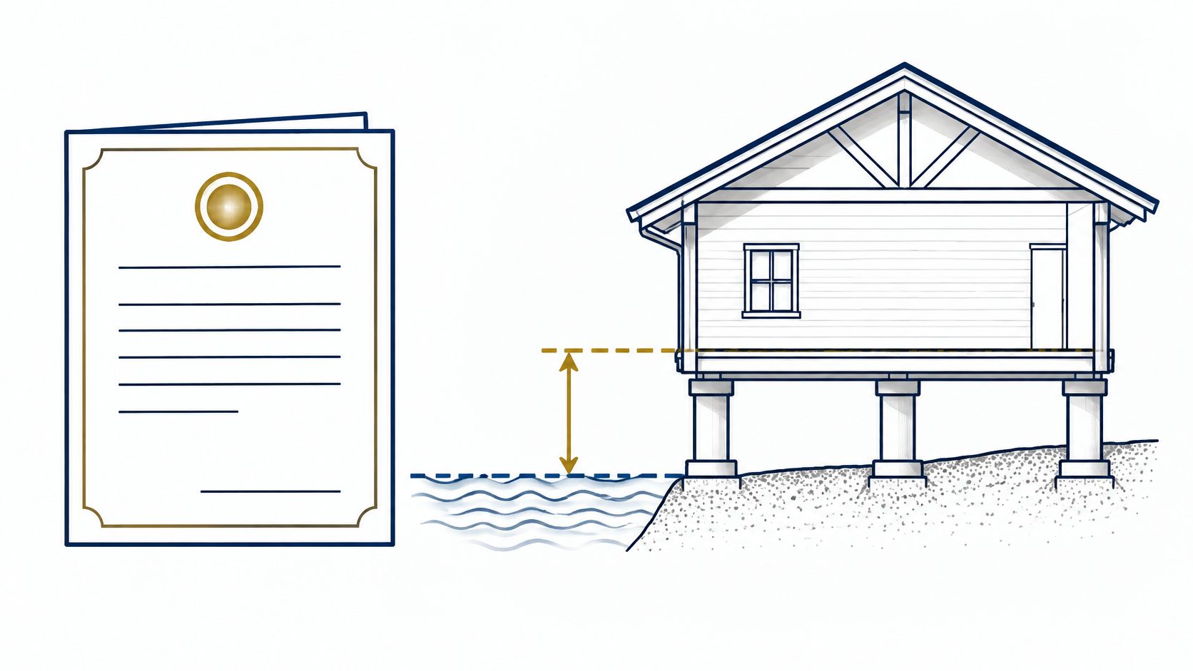
The record describes one building, not the surrounding flood zone. Communities use it to verify compliance with floodplain ordinances for new buildings and substantial improvements in Special Flood Hazard Areas, and it can also support insurance rating and map-change applications, according to FEMA's elevation certificate glossary entry.
Those uses are easy to blur together. The certificate supplies the measurements. The flood map assigns the zone, a lender decides what documentation it requires, and changing the map takes its own application. Each question gets answered by a different document, and the certificate is only the measuring tape.
Plain rule: The certificate measures the building. Whether the property stays dry depends on the flood itself.
What Information the Certificate Records
Read the form from top to bottom. Identity comes first, then map data, then building details, then measured heights.
| Field group | What it records | What a reader learns |
|---|---|---|
| Location and identifiers | Address, parcel and building identifiers | Whether the record matches the property being reviewed |
| Flood zone and map reference | Flood zone and FIRM panel data | Which official map and flood zone the record relies on |
| Building characteristics | Building use, foundation type and structure details | How the building is built and whether it fits the record |
| Lowest floor and adjacent grade | Measured elevations of the lowest floor and nearby grade | How high the living area sits above surrounding ground |
| Machinery and equipment | Elevations of relevant utilities or equipment | Whether key systems sit above the flood reference level |
| BFE and difference | Base Flood Elevation and the elevation difference | Whether the building sits above or below the mapped flood level |
The FEMA elevation certificate form records location, flood zone, foundation type, lowest floor, adjacent-grade elevations and machinery elevations beside the applicable BFE. That final comparison does the essential work. A positive difference places the measured floor above the mapped level. A negative one places it below.
Buyers comparing homes in Kelly Plantation in Destin, Okaloosa County, or anywhere else, compare more clearly when each file states this difference rather than relying on a general description of the lot.
How to Read and Check a Certificate
Find the BFE line and the measured lowest floor first. Read them side by side, then check the sign and size of the difference. That shows whether the measured floor sits above or below the mapped level on that certificate. It does not settle which flood zone applies, whether FEMA has changed the map, or whether a lender will require insurance; those are separate questions.
Before trusting the comparison, check the measuring stick behind it. Both numbers must use the same vertical datum, and the building elevations need to connect to the datum used for the BFE on the effective Flood Insurance Rate Map, or FIRM. Mixed datums can produce numbers that look plausible but compare incorrectly. Adjacent grade adds context: it shows surrounding ground height and helps explain whether floor height comes from the land, the foundation or both.
Seven Checks for a Seller-Provided Certificate
Use the certificate like a receipt: the final number only means something after the line items check out.
- Confirm the form version: Check that the property and flood map sections are complete and that the form edition is current. The current form's Section H can document first-floor height for insurance in all flood zones, and the building-elevation section requires survey information, per the current FEMA certificate form.
- Check the certification: Read the signature, certifying professional and date.
- Confirm the survey basis: Verify that elevations were surveyed, not estimated.
- Compare the map data: Match the datum, BFE and FIRM panel to the parcel's current effective map.
- Ask about later changes: Look for additions, enclosure conversions, altered crawlspaces or moved utilities after the survey date.
- Match the property: Compare the address and parcel identifiers with the purchase contract and survey.
- Name the purpose: Decide if the record supports insurance rating, a permit, a map-change request or general due diligence, because requirements differ.
A buyer considering a home in East Crystal Beach in Destin, or any flood-mapped area, should run these checks during due diligence. They support a licensed professional's review and a local floodplain determination rather than replacing either one.
An old certificate can describe a building that no longer exists in its surveyed form.
Which Document Answers Which Flood Question
An elevation certificate doesn't remove a property from a flood zone. That's the confusion to clear first. The certificate records measured heights, the map decides the zone, and the lender decides whether the loan requires insurance. Each document works like one gauge on a dashboard: every gauge answers a single question, and reading the wrong gauge gives a number that answers nothing.
| Document or decision | Question it answers | Who prepares or decides it |
|---|---|---|
| Elevation certificate | How high are the building's elevations compared with the BFE? | A licensed surveyor or professional, on the FEMA form |
| Flood insurance rate map (FIRM) | Which flood zone and BFE apply to the parcel? | FEMA, as published for the community |
| LOMA or LOMR-F | Has FEMA formally removed the property or structure from the Special Flood Hazard Area? | FEMA, after a map-change request |
| Lender flood requirement | Does the loan require flood insurance? | The mortgage lender |
| Insurance quote | What premium applies under the insurer's rating method? | The insurer or insurance agent |
Read the table from left to right: name the question you actually need answered, then check who owns that answer. The most common mix-up is asking the certificate to do the map's job or the lender's job.
FEMA's map assistance guidance lists the Letter of Map Amendment (LOMA) and the Letter of Map Revision Based on Fill (LOMR-F) among its map change types, and notes that the flood determination form comes from the mortgage company to decide whether flood insurance is required. Ask the lender in writing whether the loan will still require it.
The Shores of Crystal Beach buyer guide offers related local purchase context.
When Buyers and Owners May Need Current Documentation
Buyers of homes in a mapped Special Flood Hazard Area usually meet this document during due diligence. Owners meet it again when insurance quotes, permits or map questions come up, and each situation calls for a different set of records.
| Situation | What to request | Why it matters |
|---|---|---|
| Purchase in a mapped flood area | Seller's certificate, FIRM panel reference and any LOMA or LOMR-F | Compares elevation records with current map data |
| Flood insurance quote | Certificate and the elevation data the insurer asks for | FEMA treats the certificate as optional for quotes, so it may inform rating without being required |
| Renovation or addition | Current survey and local floodplain permit records | Communities must obtain and keep lowest-floor elevation records for new or substantially improved buildings in Special Flood Hazard Areas, under 44 CFR 60.3(b)(5) and (e)(2) |
| FEMA map-change request | Certificate prepared and certified for the request | Application requirements depend on the request type and property facts |
| Lender flood review | Lender's written flood requirement | The lender sets its own requirement, which a certificate alone may not satisfy |
The insurance row trips people up most often. FEMA states an owner may obtain flood insurance without an elevation certificate and may provide one voluntarily for rating consideration, according to FEMA's elevation certificate FAQ. The certificate works like a receipt here: it proves what was measured, and the insurer decides what that proof is worth.
One common mix-up is expecting a single document to answer every flood question: where the building sits, which zone the map assigns and whether the loan requires coverage. Anyone buying an Emerald Coast vacation condo should request each party's written requirement early: permit questions go to the local floodplain administrator, measurements to a licensed surveyor, rating to the insurer and loan conditions to the lender.
Confirm Your Documents Before Your Next Decision
Build one file before you decide. Gather the certificate, the parcel's FIRM panel reference, any LOMA or LOMR-F, insurance quotes and the lender's flood requirement in writing. Then send each open question to the party who can answer it.
Keep those answers separate. An elevation certificate is not a map determination, a lender decision or a premium, and each question has its own source: the floodplain administrator for map status, the lender for loan conditions, the insurer for rating.
Readers comparing areas can use the Destin Pointe buyer guide for 2026 for local context. Before setting a closing date, get every answer in writing from the lender and insurer so the file reflects current requirements.
Dream Destin Realty helps Emerald Coast buyers and sellers organize property records, compare current evidence and identify questions for surveyors, insurers, lenders and local floodplain officials. For help arranging elevation, map and insurance documents before a purchase or sale, contact Dream Destin Realty.


